Geoprocessing and Archiving of Historial Aerial Images
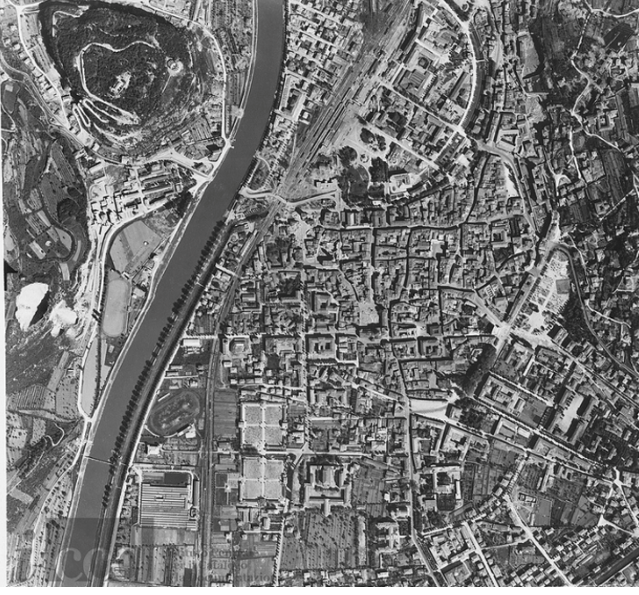
In the last years the availability of digitised historical aerial images is increasing. Such historical datasets are a unique and quite unexplored means to map territorial changes and chronicle land-cover information over the past 100 years with very high spatial and temporal resolutions. 3D information can also be retrieved since many surveys were performed under photogrammetric conditions. Therefore, both long-term environmental monitoring studies and historical object detection can be based on the analysis of these very rich time series of images.
EuroSDR is observing the increasing number of scientific works and digitisation/archiving activities related to historical airborne images in parallel to an increasing effort of local and national mapping authorities for creating web-based platforms to give access to such archives. A first workshop on these topics was organised in 2019 at IGN Paris while a benchmark was launched in 2021.
Following this momentum, EuroSDR is organizing the 2nd workshop on the geoprocessing and archiving of historical aerial images which will take place in Rome (ICCD main building, via San Michele 18) on 5-6 December 2022.
You can download the program here. Presentations will be made by representatives from industry, NMCAs and academia. The list of speakers and presentation reads like this:
- Finding intra-epoch and inter-epoch feature correspondences between pairs of historical aerial images using neural networks (F. Maiwald, TU Dresden, Germany)
- Historical Structure from Motion (HSfM): Automated processing of historical aerial photographs for long-term geodetic change analysis (F. Knuth, Univ of Washington, USA)
- Implicit / Deep Georeferencing of WWII Aerial Reconnaissance Image (W. Karel et al, TU Vienna, Austria)
- Feature matching for multi-epoch historical aerial images (L. Zhang et al., IGN, France)
- Bringing the Swiss Landscape Memory to Life (N. Jabrane and H. Heisig, Swisstopo, Switzerland)
- Historical aerial images - What’s going on in Norway (H. Buller, Kartverket, Norway)
- Actualizing history (M. Norin and G. Klitkou, Lantmateriet, Sweden)
- 75 years of historical aerial images from Denmark and Greenland - The process from dusty shelves to website (M. Bille Nielsen and A. Dindorp, SDFI, Denmark)
- Phase One Scan Station vs. high precision photogrammetric scanners - practical experience in performing aerial triangulation in everyday production environment (P. Meixner, PRIMIS, Czech Republic)
- Rapid photogrammetric scanning and processing of aerial film archives (R. Thomas, Geodyn, Germany)
- AFS150 - the new, fast photogrammetric scanner for analog airborne imagery (W. Aleithe, 3DAleithe, Germany)
- Digitizing, pre-processing and photogrammetric processing of the RMCA’s historical aerial photographs of central Africa (B. Smets, Royal Museum for Central Africa, Belgium)
- RMCA’s historical aerial photographs of central Africa: the collection, its management and its potential for environmental studies (F. Kervyn, Royal Museum for Central Africa, Belgium)
- Review on the processing and application of historical aerial images in the geosciences (L. Piermattei, WSL, Switzerland)
- Serial processing of historical aerial photographs: a story telling the geomorphic impact of cyclones on Reunion Island, Indian Ocean (C. Rault and T. Dewez, BRGM, France)
- Semi-Automatic Object Detection in Historical Aerial Images with a Human in the Loop (M. Burges et al., TU Vienna, Austria)
- Monoplotting and historical aerial images for 3D GIS (C. Bozzini, i2w, Switzerland)
- Developments at the UK National Collection of Aerial Photography (NCAP) on the physical preservation and digital imaging of historic aerial photography (A. Williams, NCAP, UK)
- Digitisation of historic aerial images in Baden-Württemberg -- investigating geometric resolution and accuracy of current digitsation systems (J.Schulz, T.Herbst - LGL BW, Germany)
- Historical Structure from Motion (HSfM): Automated processing of historical aerial photographs for long-term geodetic change analysis (K. Kuth, Univ. of Washington, USA)
- Data models, processing and sharing of historical aerial Images using ArcGIS (M. Becker, ESRI))