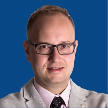
Krzysztof Bakuła
Short biography
Krzysztof Bakuła, from Warsaw University of Technology, is Second Delegate of Poland. He is employed as Assistant Professor in the Department of Photogrammetry, Remote Sensing and Spatial Information Systems. He is interested in analysis and application of multi-sourced data (photogrammetric and LIDAR). He conducts lectures and exercises in the following courses: geodesy and cartography, spatial planning, geoinformatics and is involved in works of ISPRS, Polish Society for Photogrammetry and Remote Sensing and Association of Polish Surveyors.
About the Faculty of Geodesy and Cartography of Warsaw University
The Faculty of Geodesy and Cartography of the Warsaw University of Technology is the oldest teaching and research academic institution in Poland in the field of geomatics. It started its activity in 1921 as a Measurement Department. The present name has been used since 1954. Three fields of studies at B.Sc. and M.Sc. degrees: Geodesy and Cartography, Spatial Planning and Management and Geoinformatics (B.Sc. only) are offered for students. Many scientific initiatives are carried out in this faculty which are related to: geodesy and satellite navigation, photogrammetry and remote sensing, cartography and GIS, geodesy engineering, cadastre and land management, spatial management. More info about WUT and Faculty of Geodesy and Cartography can be found in WUT Base of Knowledge available on http://repo.bg.pw.edu.pl/index.php/en/
- Organisation: Warsaw University of Technology
- Contact: krzysztof.bakula@pw.edu.pl


