NMA-generalisation
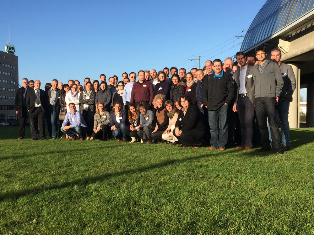
On December 3 and 4 more than 60 people from 18 National Mapping Agencies (NMAS) gathered at the Kadaster in Amsterdam to exchange experiences on automated generalisation plays in their production line of multi-scale maps. The workshop was organised by EuroSDR (Jantien Stoter) and the commission on generalisation and multi-representation of the International Cartographic Association in collaboration with the Kadaster. In 2013 a workshop was already held on this subject. Compared to 2013 significant developments are being made. Automated generalisation is now implemented by most NMAs. And NMAs consider multi-scale information as a crucial part of the information society in which we live. Therefore up-to-date multi-scale information produced by NMAs should be easily available to everyone.
During the workshop, the participants also discussed the future development of multi-scale map products. Noteworthy were the conclusions that “object identifiers” for derived maps are not always necessary (instead complete maps are derived again when needed) and that pre-defined map scales are becoming less important as zoom in and out levels of digital visualization are getting more important. Moreover, the criteria for “maps that are good enough” are no longer driven by cartography only. Instead up-to-dateness is an important criteria as well. This is made possible by automated generalised maps (which might not result in a perfect cartographic result). At the end of the workshop people could study in detail each others multi-scale maps. Presentations and abstracts are available via http://generalisation.icaci.org/index.php/prevevents/11-previous-events-details/92-nma-symposium-2015-presentations

Invitation workshop
The ICA Commission “Generalisation and Multiple Representation” and the EuroSDR commission “Data specifications” cordially invite national and regional mapping agencies to attend the:
2nd ICA / EuroSDR NMA Symposium
Designing MRDB and multi-scale DCMs:
Sharing experience between mapping agencies and the outside world
3, 4 December 2015, Kadaster, Amsterdam
During the symposium participants will get the opportunity to present production workflows and solutions for multi-scale and multi-resolution databases and products. Besides the presentations of the participants, time will be kept for formal and informal discussions around the current practices and used tools/software products.
In March, 2013 the first symposium took place in Barcelona attended by 13 mapping agencies. The presentations and abstracts can be found here.
The aim of the symposium is to see progress since then, to learn form each other’s experiences and to identify common needs and challenges that could be passed to industrials on the one hand and researchers on the other hand.
Organising Committee:
ICA: Cecile Duchene, Dirk Burghardt
EuroSDR: Jantien Stoter
Local organisation: Vincent van Altena, Marc Post and Jantien Stoter

