Good start of EuroSDR GeoBIM project!
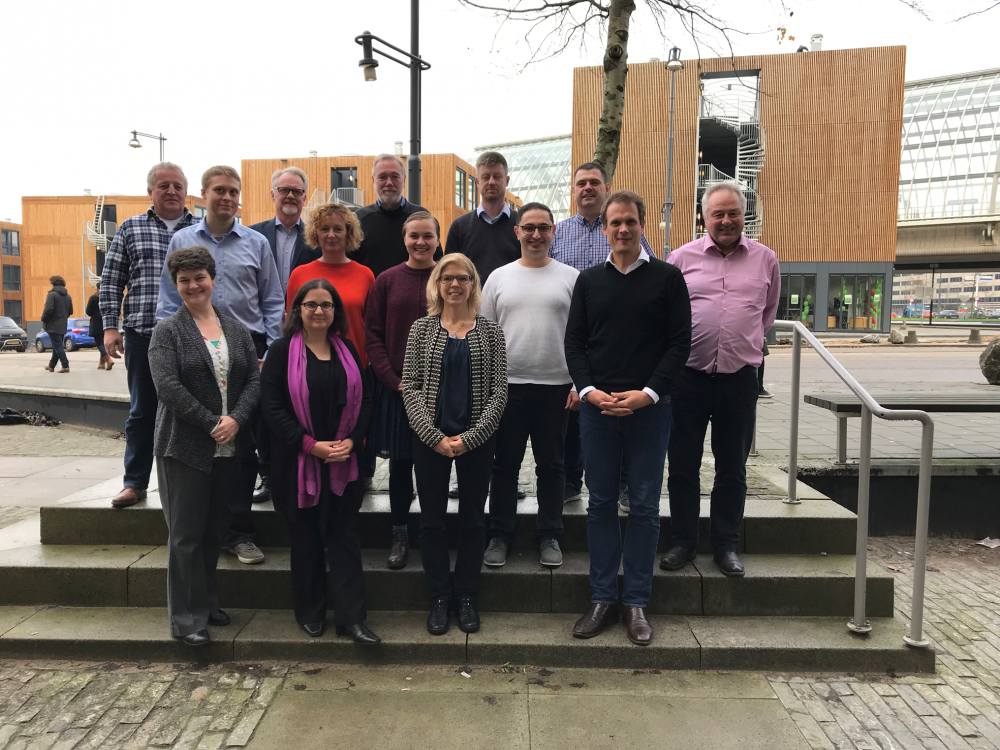
On 29th and 30th of November, the kick off of the EuroSDR GeoBIM project took place at Kadaster Amsterdam. The project is a collaboration of 11 national and regional mapping agencies and a few research institutes (among which University College London, Dublin Institute of Technology and Delft University of Technology).
The project aims at identifying the open issues for wide use of geodata in the BIM world and the wide use of BIM in the geodata world and solving a few of them. The workshop started with an overview of the GeoBIM developments in all involved countries. These developments ranged from almost no GeoBIM activities to a clear strategy for including BIM information in the building registration (including reuse of geometry) and to integrate Geo and BIM in Asset Management.
All presentations showed the current difficulties for exchanging, and specifically reusing, geo and BIM data for mixed GeoBIM applications. In breakout sessions we discussed the wider motivations for GeoBIM integrations and identified 15 research questions. We also designed the setup of a broad questionnaire that we will execute to study (and publish about) the GeoBIM status in the participating countries. The duration of the EuroSDR GeoBIM project is 2 years in which we will seek active collaboration with related initiatives such as the GeoBIM harmonization initiatives within ISO and OGC.